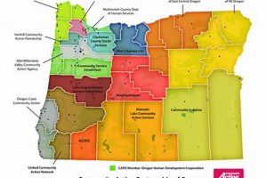
A geographical visualization tool focusing on a specific coastal promontory in Oregon provides detailed cartographic information. This type of resource typically includes topographical features, navigational data, and potentially land ownership details for... Read more »

