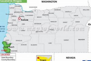
Geographic Information Systems (GIS) in Curry County, Oregon, represent a technological framework for gathering, managing, and analyzing spatial or geographic data. This system integrates hardware, software, and data for capturing, storing, updating,... Read more »

