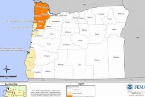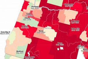
Official delineations indicate areas at risk of inundation within the state. These resources, produced by federal agencies and often supplemented by state and local data, visually represent the extent to which properties... Read more »

A geographical representation indicating areas with varying levels of flood risk within the state of Oregon. These maps, typically created by agencies like FEMA (Federal Emergency Management Agency), delineate Special Flood Hazard... Read more »


