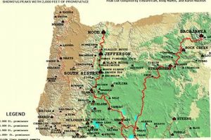
A cartographic representation displaying the elevated landforms within the state of Oregon, commonly used for navigation, recreation, and scientific research, accurately depicts the location, elevation, and topographic features of prominent summits. This... Read more »

