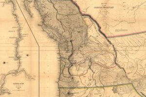
A cartographic representation detailing the boundaries, physical features, and settlements within a specific region of North America, designated as the Oregon Territory. This depiction typically includes geographical elements such as rivers, mountains,... Read more »

A cartographic representation of the region once known as the Oregon Territory visually depicts its geographical boundaries, topographical features, and often, its political divisions and significant settlements during a specific historical period.... Read more »


